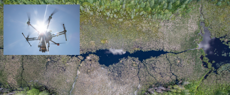
UAS (Unmanned Aerial Systems) are rapidly revolutionizing aerial photography and research. Due to the low cost and much lower operating altitude than manned aircraft they can collect data at very high resolution, with a variety of sensors at not before seen proximity to the area of interest. The higher resolution, achieved at comparatively low cost makes for greatly improved data when compared to aircraft or satellites. Properly georeferenced, calibrated UAS data can unlock novel research questions allowing for complex metrics in virtually any field. Based in Montreal (Canada) we are one of few companies able to provide airborne data produced with the greatest care with proper callibration and high accuracy.