Orthomosaics:
UAS generated orthomosaics built from hundreds of individual frames can be used for detailed analysis of large areas. Depending on the application a very high resolution of up to 0.5 cm can be achieved. Orthomosaics are best suited for larger area surface studies such as species identification, elevation models, and complex measurements. Properly geocorrected (with high spatial accuracy) orthomosaics are ideal for agriculture, conservation and mining.
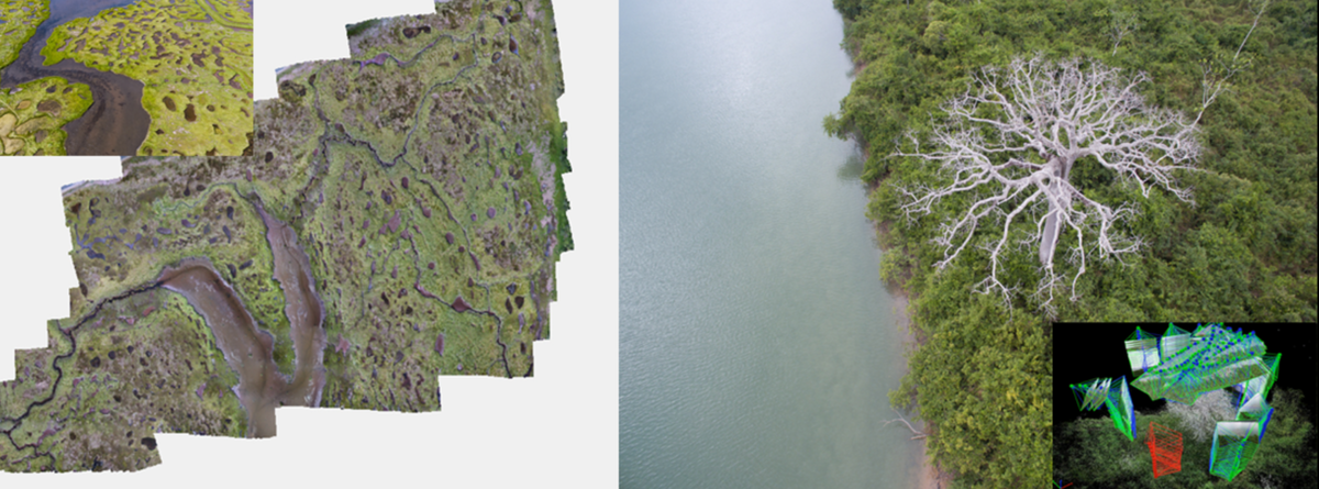
3D models:
Hundreds of aerial photographs are used with SfM (structure from motion) to generate a point cloud that is the basis for centimetre accurate 3D models of infrastructure, complex natural surfaces or vegetation. The model can be used for accurate digital measurements of distances, elevations, structures, and volumetric measurements. 3D models can be accessed online, or used to 3D print to scale. 3D models can be produced with up to 1 mm accuracy. We also offer 3D models for smaller artifacts and underwater objects (e.g. submerged structures, reefs, aquatic habitats). These models are ideal for archeology, research, and law enforcement.